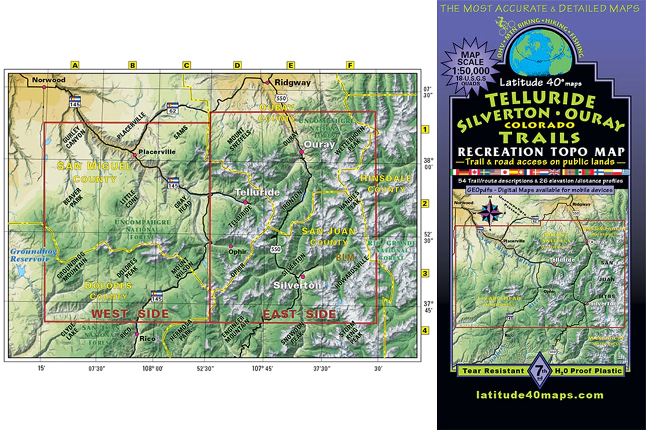


Colorado Telluride, Silverton, Ouray Trails - Trails and Recreation Topo Map | Latitude 40°
Sale price
$14.95
Shipping calculated at checkout
Pickup currently unavailable
Shipping calculated at checkout
Pickup currently unavailable