
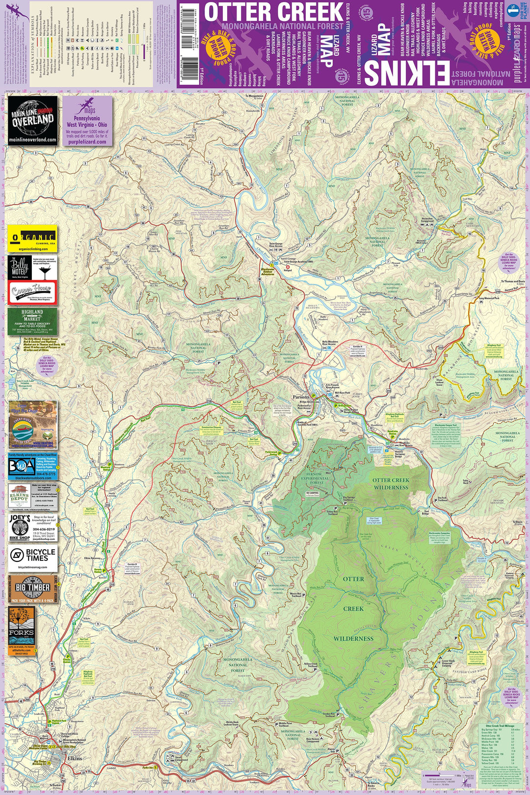


Use collapsible tabs for more detailed information that will help customers make a purchasing decision.
Ex: Shipping and return policies, size guides, and other common questions.
You may also like
Recently viewed
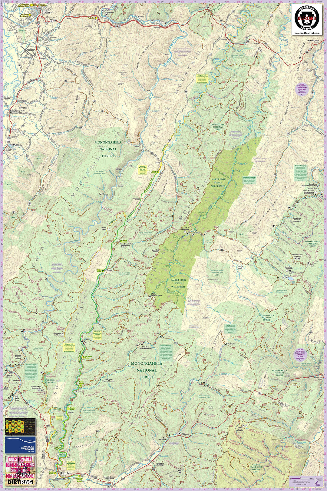
Use collapsible tabs for more detailed information that will help customers make a purchasing decision.
Ex: Shipping and return policies, size guides, and other common questions.

Spend $99 and up on any order and earn free shipping (continental USA only). Other conditions may apply.

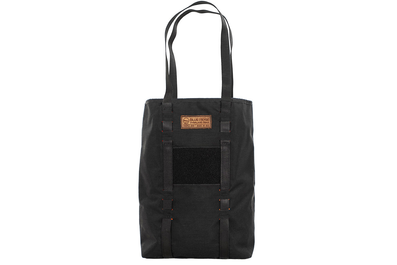
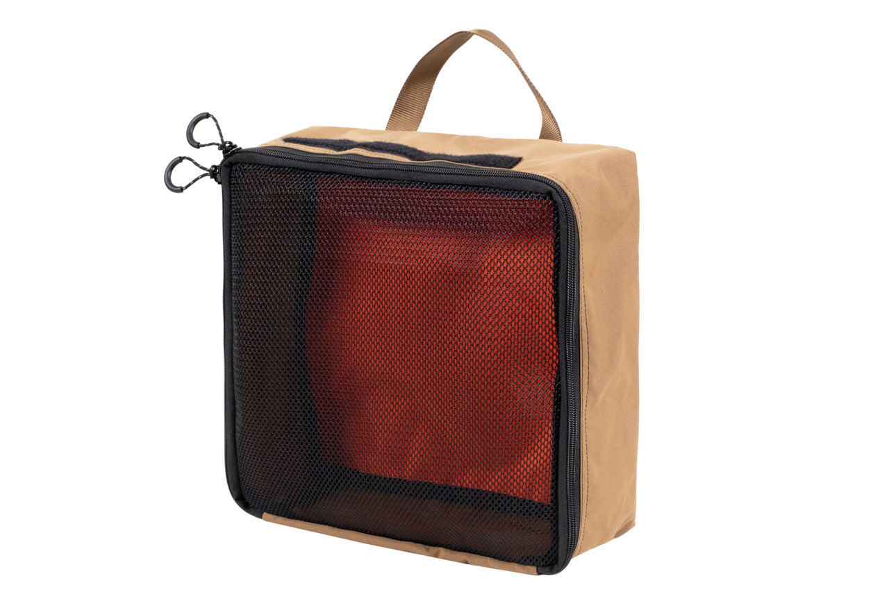
We manufacture premium quality soft goods in Virginia, USA. Built better and guaranteed for a lifetime.
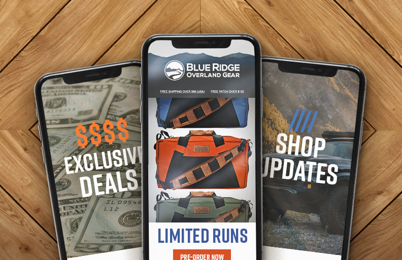
Sign up for our weekly email updates. Don't miss exclusive deals, product announcements, limited runs and more.